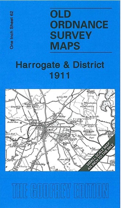
This Inch to the Mile map covers the area around and to the east of Harrogate, with coverage stretching eastward to Easingwold, northward to Fountains Abbey. The map also includes Knaresborough and Boroughbridge. Features include Studley Royal, Aldborough, the closed railways north of Harrogate towards Ripon and Pilmoor, Ripley, Ribston Park, Newby Hall. On the reverse we include a detailed map of the small village of Burton Leonard, with directory.
It is not possible to list the many hamlets, farmsteads and other topographical features shown on these maps. However, you may find it useful if we list the towns and principal villages or church parishes that are included on this map.
Yorkshire: Aldborough, Aldwark, Allerton Mauleverer with Hopperton, Alne, Arkendale, Beningborough, Bilton, Bishop Monkton, Boroughbridge, Brafferton, Brearton, Bridge Hewick, Burton Leonard, Cattal, Coneythorpe & Clareton, Copgrove, Cowthorpe, Easingwold, Farnham, Ferrensby, Flawith, Flaxby, Follifoot, Goldsborough, Great Ouseburn, Great Ribston with Walshford, Green Hammerton, Harrogate, Helperby, Hunsingore, Ingerthorpe, Killinghall, Kirby Hall, Kirby Hill, Knaresborough, Langthorpe, Lindrick with Studley Royal & Fountains, Linton upon Ouse, Little Ouseburn, Little Ribston, Littlethorpe, Lower Dunsforth, Marton cum Grafton, Minskip, Moor Monkton, Myton on Swale, Newton upon Ouse, Nidd, North Deighton, Nun Monkton, Overton, Pannal, Ripley, Roecliffe, Rufforth, Scotton, Scriven, Shipton, Skelton, South Stainley with Cayton, Staveley, Studley Roger, Tholthorpe, Thorpe Underwoods, Tockwith, Tollerton, Upper Dansforth with Branton Green, Walkingham Hill with Occaney, Whixley, Widdington, Youlton.